Welcome to SDR
Mapping Solutions for 9-1-1 and Public Safety
Mailing Address: P.O. Box 684, Olathe, KS 66051
911/GIS Oklahoma
 SDRs GIS services are available to Oklahoma 911 entities through the Oklahoma 911 Mgmt. Authority and OMES State Contract. Grants are available from the Oklahoma 911 Management Authority for GIS improvement required for NG911. (https://www.ok.gov/911/documents/GIS%20GRANT%20PROJECTS.pdf) For a pre-assessment and proposal, or for more information about the grants and SDRs services and products, click here to email Penny Knight, or call us directly at 800-238-1911 ex 701.
911/GIS Missouri

SDRs GIS services and software are available to Missouri 911 entities. Grants are available from the Missouri 911 Service
Board for Dispatch Mapping Software and upgrades, as well as GIS improvement required for 911. (https://www.missouri911.org/grants-and-funding-opportunities) For an overview of the software or pre-assessment and proposal, or for more information about the grants and SDRs services and products, click here to email Penny Knight, or call us directly at 800-238-1911 ex 701.
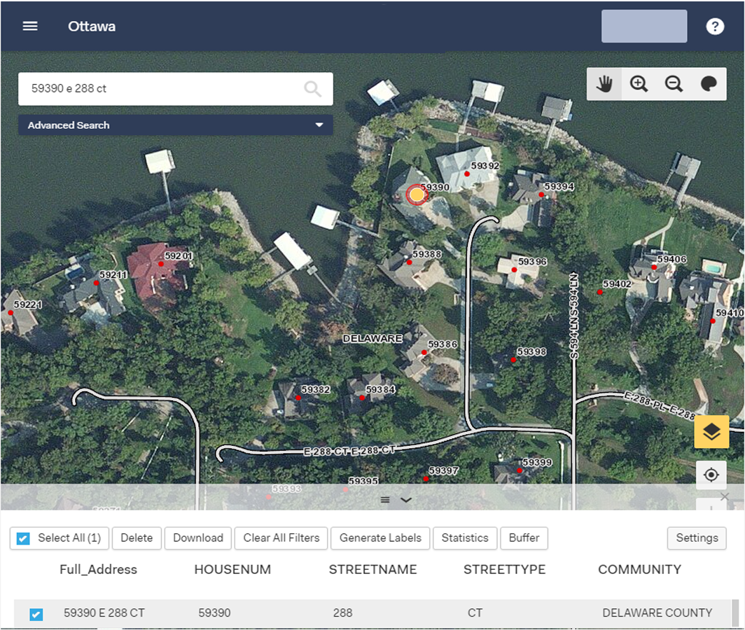
SDRs web mapping tools serve your locally created and maintained GIS data to the audience you choose via secure web interface and internet browser. Built on an ESRI platform with speed, efficiency and ease of use in mind, eCOP offers view, query and display tools plus secure log-ins so that specific users or user groups can access additional layers or features and can edit point, line and polygon data. eCOP is your tool of choice to quickly solve problems, improve your data and share your mapping with constituents and stakeholders.
Today, as location-based technologies gain greater and greater importance across all sectors, SDR clients use eCOP to reach a variety of end users who benefit from local mapping data, data that is simply not available on public mapping websites. These users include government offices, post offices, schools, residents, businesses, public safety agencies, and more.
For more information on eCOP and how your constituency can benefit from it, or to schedule a demonstration, contact us at 800-238-1911 or by e-mail.
SDRs Go2It Dispatch Mapping Software now includes an interface to RapidSOS at no additional cost. Contact SDR Support at 800-238-1911 x2 for information on procuring your SDR credentials through your existing RapidSOS account
SDRs 911 GIS services are now available on the Oklahoma State Price Agreement. SDR is certified by Oklahoma 911 and the State of Oklahoma to provide GIS Assessment, Remediation and Maintenance services under state contract. Visit https://www.ok.gov/911/Programs/9-1-1_Grants/
index.html
SDRs AddressIt tools for ArcGIS will be available for ArcGIS Pro during Winter 2022-2023. Built with a flexible data model that allows maintenance in NG911 or legacy format, AddressIt Pro continues SDRs twenty-five year commitment to offering our clients the same data building and management tools we use internally. Contact SDR at info@sdrmaps.com for more information about AddressIt Pro.
SDR welcomes Gordon Mein to the SDR team as Lead Software Technician. Gordon will be working with our Go2It software customers on their initial and continuing technical needs. Contact Gordon
at gmein@sdrmaps.com to inquire about in-maintenance version upgrades or your installation status.
AddressIt for ArcGIS
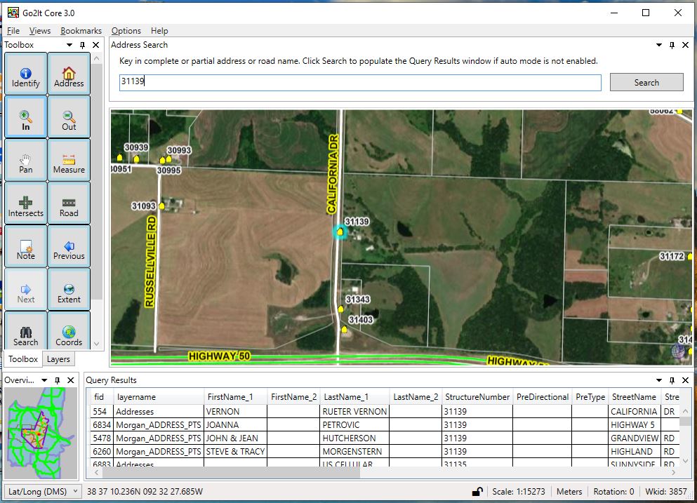
Go2It Dispatch Mapping
Go2It Responder in-vehicle Mapping
eCOP Web Mapping
 |
Missouri APCO has established the Matthew Knight Memorial Scholarship in memory of Matt Knight, our former VP of Sales and Marketing, who passed away in 2021. This scholarship provides MPSCC conference registration, accommodations and a travel stipend for an active member of the 911 community. Visit https://moapco.org/ Click to download Fall Director's Conference presentation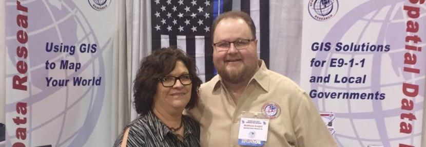
training/scholarship/